
Geology Publications
Please use the Publications Contact Form here for publication purchases or enquiries.


Selling fast!
Revealing the Foundations:
The geology and landscape of the Westmorland Dales.
By Elizabeth Pickett 2023 £10
The Westmorland Dales forms the NW corner of the Yorkshire Dales National Park. This 36 page booklet, with full colour photographs and diagrams includes the geological map of the area. It suggests places to visit and Local Geological Sites in the area.

Geotrails 1: Whitbarrow (ASLT Edition)
By Peter Standing £4
Exploring the rocks and landscapes of Whitbarrow by Peter Standing.
This Geotrail is dedicated to Murray Mitchell (1933-2012), eminent geologist, palaeontologist and past president of the Westmorland Geological Society, who inspired the first Whitbarrow geological guide. The trail commemorates his great contribution to our knowledge and understanding of Lower Carboniferous limestones and their fossils.
This new impression of Peter Standing’s original geotrail booklet has been republished by the Landscape Trust with minor corrections.

Geotrails 4: Gait Barrows, Trowbarrow and Coldwell (ASLT edition)
By Peter Standing £4
This geotrail in based on the original “Gait Barrows to Trowbarrow Geotrail” by the late Peter Standing. This extensively revised, modernised and expanded edition builds on the author’s original but extends the walk to provide a complete circular excursion through Gait Barrows and Trowbarrow, around Hawes Water, Challan Hall Allotment and the Coldwell Horseshoe. It also includes a section on Leighton Moss.

Geotrails 5: Farleton and Hutton Roof (ASLT Edition)
By Peter Standing £4
A collection of landscape walks featuring the geology, geography, history and ecology around Farleton, Clawthorpe, Burton-in-Kendal and Hutton Roof by Peter Standing.
This second impression of Peter Standing’s original geotrail booklet has been republished by the Landscape Trust with minor corrections.

Geotrails 2: Beetham and Hale
By Peter Standing £2.50 reduced
A circular walking route around the landscapes of Beetham and Hale, with a guide to the geology, landforms, history and ecology.

Geotrails 3: Arnside (ASLT Edition)
By Peter Standing £4
A collection of six walks exploring the landscapes of the Arnside Parish by Peter Standing, this 32-page booklet looks at the geology, history and ecology of the area and of the Kent estuary.
This new impression of Peter Standing’s original geotrail booklet has been republished by the Landscape Trust with minor corrections.


All 5 of Peter Standing's Geotrails
Set of 5 now £17

Landscape Walks around Sandside, Storth and Carr Bank (ASLT Edition)
By Peter Standing £7
This 54 page booklet of Landscape Walks features a guide to the villages, geology, flora and fauna, industrial landscapes and estuary of the River Kent. Written by the late Peter Standing in his inimitable style, it is copiously illustrated with 175 photographs and 28 maps, including aerial views, lidar images and the author’s own diagrams. The book also brings into print for the first time an updated and expanded version of the 5km Storth Geotrail, which was originally developed by the author for publication on the web. The book includes an additional six trails of between 0.5 and 5km: Bela Estuary; Marsh Lane; Hazelslack; Teddy Heights; Guard Hill and Storth History.
Peter had almost finished this work at the time of his death; it was subsequently prepared for publication by his family in Peter’s memory. The Landscape Trust is now able to publish this revised edition, which has been updated to take account of changes in the area in the vicinity of the walks.
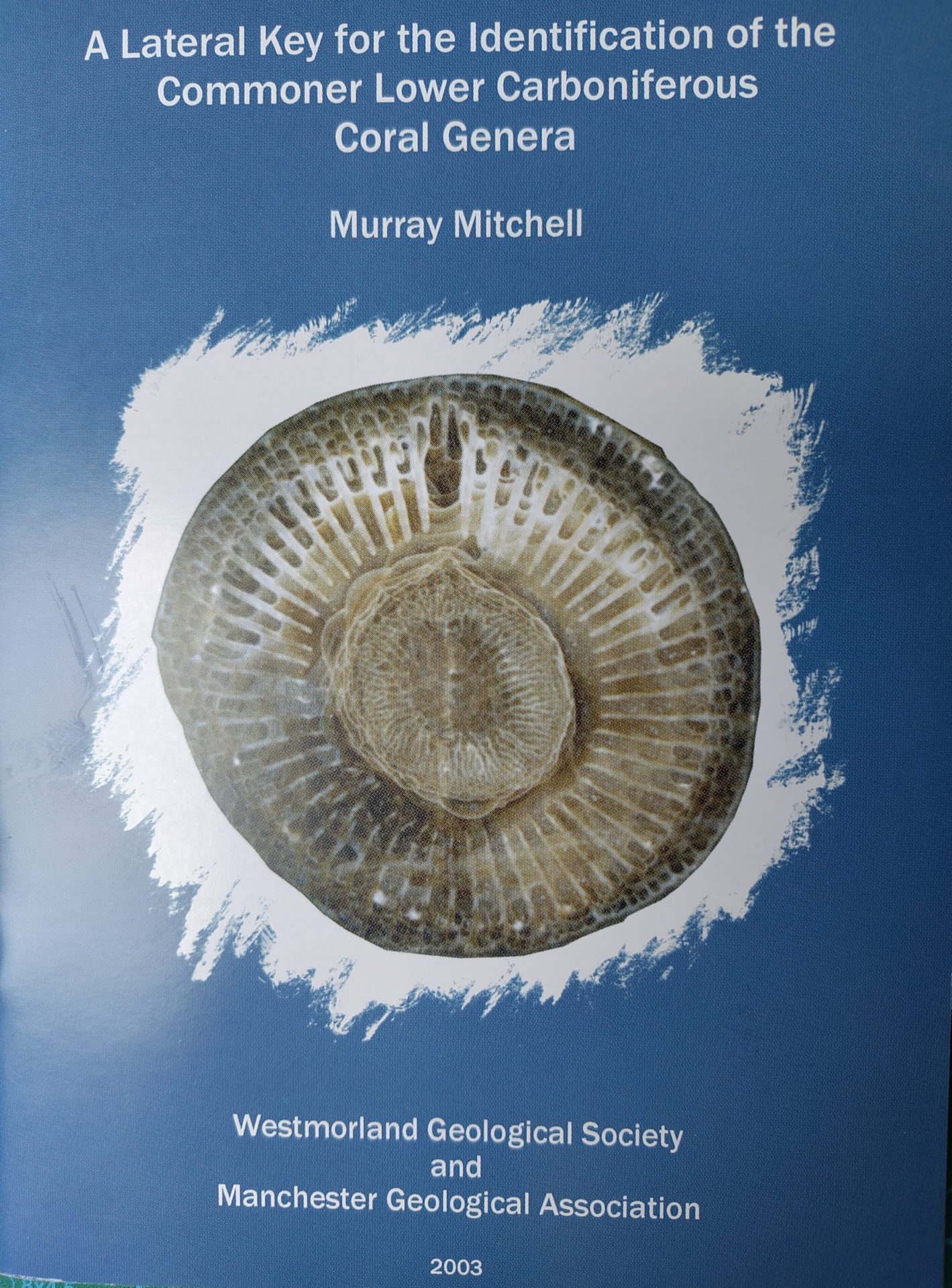
A Lateral Key for the Identification of the Commoner Lower Carboniferous Coral Genera.
By Murray Mitchell (ex BGS palaeontology) 2003 second edition £2
This little pamphlet is still useful with advice on how best to go about identifying the corals, a table key and some photos.

Walks and excursions around Keswick, Bassenthwaite, Derwentwater and Borrowdale.
By Alan Smith £2.99
This booklet attempts to explain how the landscapes around Keswick reflect the underlying rocks, and how over very long periods of time the landscape has been shaped.

Kendal Building Stones.
By Geoff Brambles
FREE with another purchase.

A geological walk, looking at rocks, plants and landscape.
Various authors £1.50
Whitbarrow is of outstanding importance for its biological and geological interest. A mosaic of species-rich limestone grasslands, open and wood-covered limestone pavement and limestone scree slopes are present along with ancient, semi-natural and deciduous woodland.

A walk in Yewdale, north east of Coniston.
By Murray Mitchell £3.00


