Image

Stratigraphy

The Oxford English Dictionary defines Stratigraphy as ‘The branch of geology concerned with the order and relative position of strata and their relationship to the geological timescale’.

Stratigraphy is one of the key elements of geology and provides the basis for the subdivision of rock strata. This subdivision can be on the basis of rock type (lithostratigraphy), fossil content (biostratigraphy) or absolute age (chronostratigraphy).

The basic concept of stratigraphy was established by Nicholas Steno in the late 17th century and was developed by geologists such as William Smith and contemporary workers in the first half of the 19th century who laid down the basis for the approach to stratigraphy that is employed today.

A progressive refinement of the stratigraphy of the British Isles has occurred overtime and this continues as further research provides additional information and a more refined stratigraphic column.

Whilst identifying and recording Local Geological Sites (LGS) Cumbria GeoConservation has followed a well-established and accepted regional lithostratigraphy that has been developed over the past 200 years, starting with the 3 fold division of the geology of the central Lake District (‘the Clayslate, Greenstone and Greywacke’) described by Jonathan Otley in 1820 and culminating in detailed work currently being undertaken by UK Universities and the British Geological Survey.


Image

In order to ensure consistency of approach Cumbria GeoConservation has chosen to follow the lithostratigraphy detailed in the latest BGS Regional Guide for the North of England (Stone et al, 2010).  This lithostratigraphy is summarised  in a number of tables that have adapted the information provided in the regional guide.  These tables aim to cover all of the solid geology of Cumbria.  Some of our Local Sites were designated more than 25 years ago and the lithostratigraphic information may now be out of date – this will be updated as individual sites are reviewed.  The tables are as follows;

Ordovician - Skiddaw Group

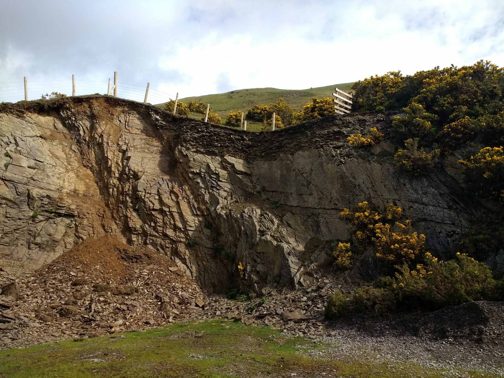
Ordovician – Borrowdale Volcanic Group (representative section only)

Ordovician to Silurian – Windermere Supergroup

Devonian

Carboniferous

Permian/Triassic/Jurassic

Image

Download each summarised Stratigraphic Table for Cumbria by clicking on the table name on the left hand side.

An excel version of all tables is attached here  or a pdf.

It should be noted that whilst for some elements of the stratigraphic column (e.g. the Permian/Triassic/Jurassic) the lithostratigraphy is relatively simple, sequences such as the Carboniferous are more complex; reflecting the varying nature of sedimentation in both time and space, but it is still possible to satisfactorily represent the whole region on one table.  However, the Borrowdale Volcanic Group can exhibit such extreme lateral and vertical variation over small distances that it is not practical to represent the whole of the Lake District on a single table.  In this case a representative section from a specific local area has been provided.

Reference

STONE, P, MILLWARD, D, YOUNG, B, MERRITT, J W, CLARKE, S M, McCORMAC, M, and LAWRENCE, D J D, 2010.  British Regional Geology: Northern England (Fifth edition). (Keyworth, Nottingham: British Geological Survey).

Image
Image
Image
Image

Cumbria Biodiversity Data Centre

The Cumbria Biodiversity Data Centre at Tullie House Museum, Carlisle keeps wildlife information for the county of Cumbria. Tullie House Museum, in its role as a local natural history museum, has collected and disseminated records of wildlife in Cumbria since its inception in 1893. From the early 1990s the Museum has developed a computerised database of species and habitat records in Cumbria and has taken the central role in providing a local biodiversity data service for the county. This role was restyled as Cumbria Biodiversity Data Centre (CBDC) in 2010, a not-for-profit organisation hosted by Tullie House Museum and advised by local stakeholders.
Cumbria Biodiversity Data Centre
Cumbria Biodiversity Data CentreTuesday, April 1st, 2025 at 10:59pm
CBDC will be speaking at Bothel Community Wildlife Group next Tuesday, 8th April, ahead of the Bioblitz in May. Come along to find out more about recording, what makes a good record, how records are used to inform decision making across the county and what tools are available to help you on your recording journey! Naturalist Polly Pullar will be the main speaker of the evening....
Cumbria Biodiversity Data Centre
Cumbria Biodiversity Data CentreMonday, March 31st, 2025 at 9:47pm
Looking forward to speaking @Tullie Lunchtime Talk today!
Cumbria Biodiversity Data Centre
Cumbria Biodiversity Data CentreFriday, March 28th, 2025 at 10:55pm
First bluebell of the year!
Cumbria Biodiversity Data Centre
Cumbria Biodiversity Data CentreFriday, March 28th, 2025 at 4:39am
We'll be speaking about Cumbria Wild Watch at the next @Tullie Free Lunchtime Talk so come along to find out more! 1pm on 1st April

Book your free place: https://tullie.org.uk/events/cumbria-wild-watch-free-lunchtime-talk/
Cumbria Biodiversity Data Centre
Cumbria Biodiversity Data CentreTuesday, March 25th, 2025 at 10:02pm
The countdown to Cumbria Wild Watch 2025 begins today!

In three months time, the largest community science survey in Cumbria will take place. You can get involved by recording all the wildlife you see between 26-29 June 2025. So mark this weekend on your calendars and watch out for more information of how to take part over the coming weeks.
Cumbria Biodiversity Data Centre
Cumbria Biodiversity Data CentreTuesday, March 25th, 2025 at 12:31am
It is officially spring and we are now looking forward to our recording days (and bioblitzes) this year. The programme is on our website and you can book a place/express an interest in attending these events - all are welcome to come along and practice your wildlife recording skills.

https://www.cbdc.org.uk/get-involved/recording-days/

More events will be added as they are confirmed.