
B-Lines
Saving bees and other pollinators from extinction by restoring rich, wildflower habitats across the UK.
Clients: Buglife, Natural England
Date: 2016
Services: Digital Mapping, Data Analysis
Throughout the UK, 97% of species-rich grassland has been lost since 1940, mainly due to modern farming methods and urban spread. As a result, 75% of our pollinators are in decline, and 35 species of bees face extinction.
Much of our wildlife is now confined to tiny, isolated habitats and, if action isn’t taken to restore and reconnect them, between 40 and 70% of native species may go extinct.
The B-Lines initiative intends to help combat this catastrophic bio-diversity loss via the creation of a UK-wide network of pollinator-friendly habitats, known as ‘B-Lines.’ This network of B-Lines will restore at least 150,000 hectares of rich meadows and grassland, and reconnect currently isolated habitat areas all over the UK.

Before launching the B-Lines project, Buglife and Natural England asked CBDC to map out existing insect pollinator populations across Cumbria, Lanashire, and Greater Manchester.
In collaboration with other record centers, we analysed, edited, and digitally mapped out existing and collected pollinator habitat data, via ArcGIS model building. Our maps formed the working foundations for the North West B-Line networks, and helped to develop project methodology that was used in other B-Line projects around the UK.
Thanks to our work in the North and contribution to the wider B-Lines project, CBDC was hired to work on the Bee Roads South project.

Above & Below:
Maps created for the Cumbria, Lancashire, and Manchester B-Line project areas. Proposed B-Lines are displayed in yellow, and existing habitats in green (below right).

Below:
The full B-Lines network. CBDC’s North West project area is marked in blue.

Below:
A flow chart demonstrating our mapping process for the project.
Stage 1 began with a collaborative effort from local recording and data centers to identify potential habitats. During Stage 2, we evaluated the quality and suitability of these habitats, narrowing them down into Core Areas. A 3 kilometre buffer was added around the Core Areas, which provided the first step towards creating the B-Line network. During Stage 3, we used digital modelling to analyse terrain and map out the most efficient way to connect the Core areas, founding the B-Lines network.
(SSSI = Sites of Special Scientific Interest).

Links and Credits:
– Buglife B-Lines website
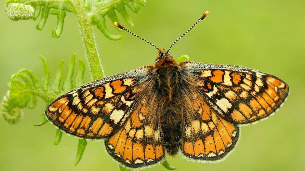
– Images sourced from: BumblebeeConservation.org (Steven Falk, final image), BBC.co.uk (Iain H. Leach, butterfly), and B-Lines


